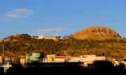
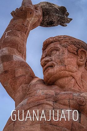
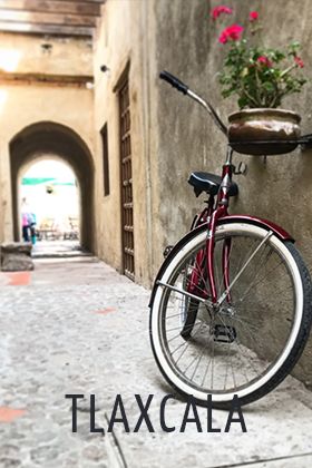
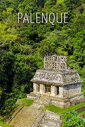
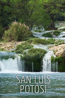
&cuantosmapas=2&queciudad=zacatecas&queestado=zacatecas_edo&mapa1=Mapa de la Ciudad de Zacatecas|Zacatecas City Map|Zacatecas Plan de la Ville|zacatecas/mapa1/mapa1&mapa2=Mapa de Carreteras de Zacatecas|Zacatecas Road Map|Zacatecas Plan de la Ville|zacatecas_edo/mapa1/mapa1&
The archaeological site of La Quemada is located 56 km (35 mi) south of the city of Zacatecas, on highway No.54 to Guadalajara. towards the town of Guadalupe Chicomostoc, in the Municipality of Villanueva.
La Quemada, which means ‘The Burning,’ is unique as an archaeological area of the Mesoamerican sites because of its mosaics. In 1615, Fray Juan Torquemada identified it as one of the places visited by the Aztecs in their migration to the basin of Mexico, where they left their elderly and children. In 1780, historian and religious personage Clavijero Chicomostoc, associated this place as where the Aztecs stayed for nine years during their trip to the Valley of Anahuac. This speculation led to the popular tradition that identifies La Quemada with the mythical place called La Siete Cuevas.”
Research at the site revealed that it was an important part of the cultural development in Mesoamerica, whose nucleus was the city of Teotihuacan (100 to 650-700 A.D.). Archeological excavations in the area during the eighties revealed that La Quemada developed between 300 and 1200 A.D.
Located in a vast plain, La Quemada or Tuitlán-which up until not long ago was known as Chicomostoc- is recognized for its many ruins that cover and surround the northwest, northeast and south summits of the Cerro de los Edificios. The site is divided into four main sections, most notably "The Acropoli...more info
We provide recommendations for hotels, resorts, inns, vacations, travel packages, vacation packages, travel guides, city maps, road maps, videos and much more.